western maryland regional gis center
Welcome to the
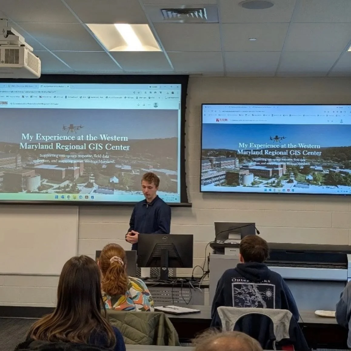
WMRGISC is Frostburg State University’s one-stop shop for geospatial data handling and geographic field work. Housed in the Department of Physical and Environmental Sciences, WMRGISC specializes in drone services, online mapping, and environmental and historical research.
Explore what we offer
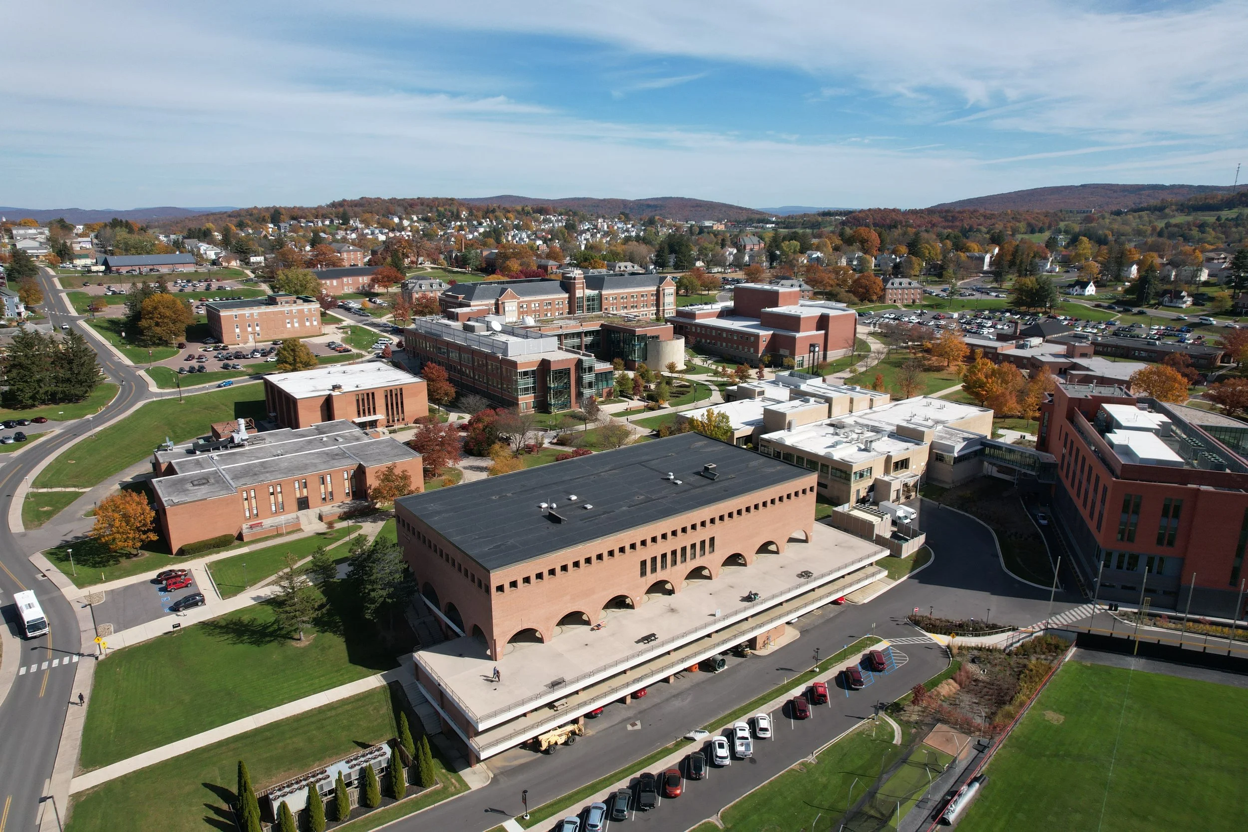
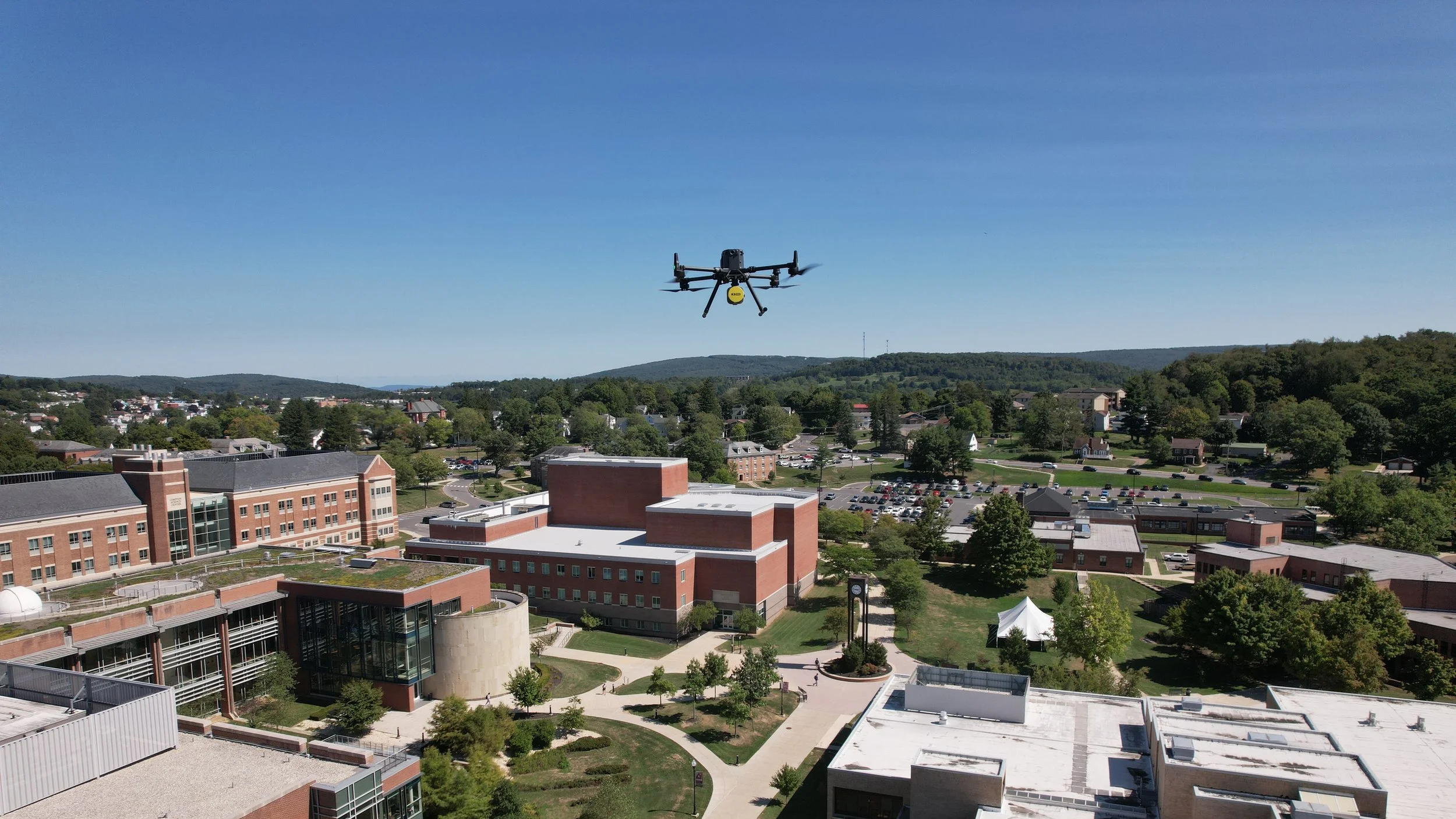
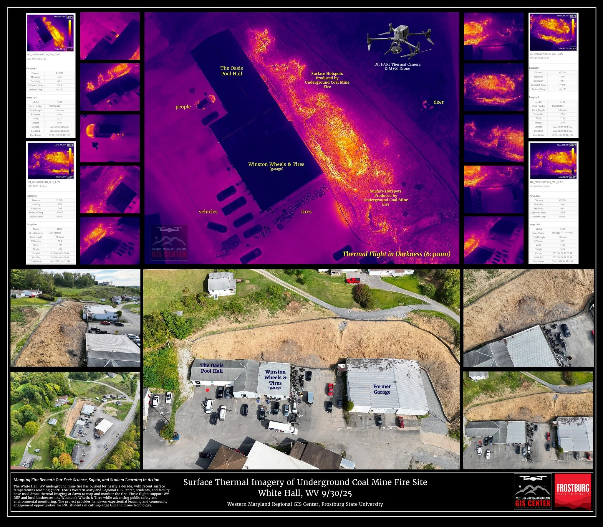
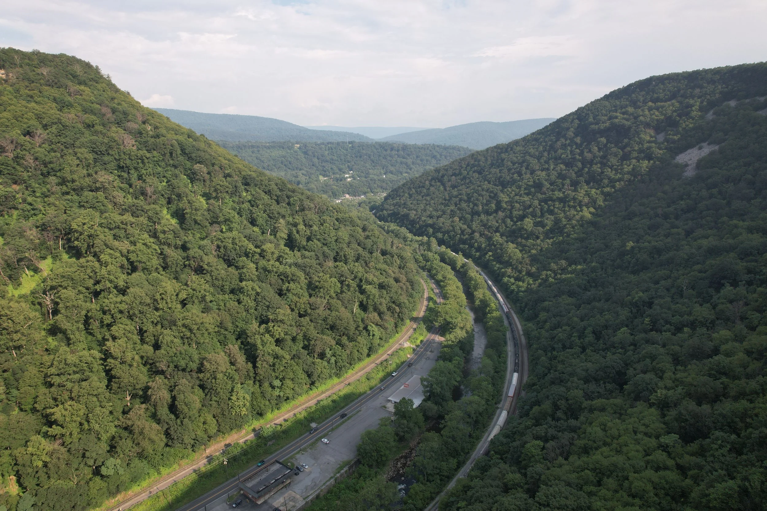
High resolution photography, videography, and orthophotography taken by our staff of FAA-certified drone pilots. Explore our specialized drone sensors and other remote sensing methods.
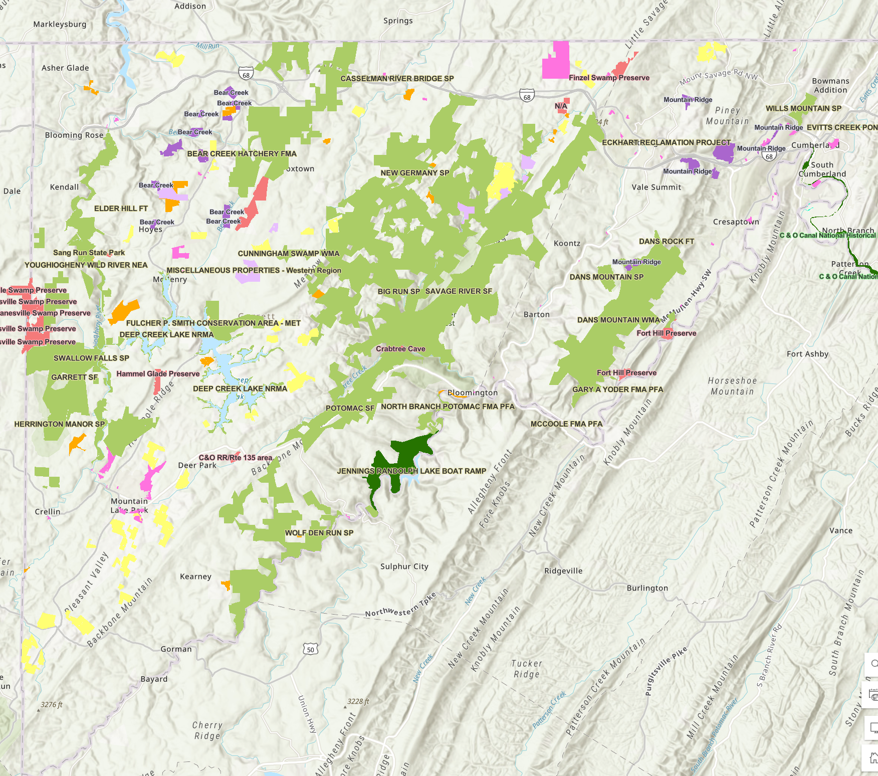
Digital mapping products including, but not limited to, static layouts, online web-mapping services, and geodatabase configuration and management using our suite of Esri software.
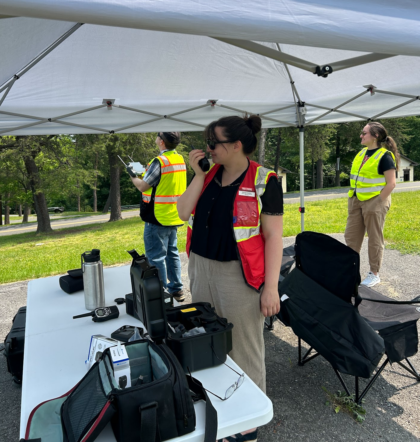
Have something else in mind? We offer more than just remote sensing capabilities and GIS deliverables. Contact us about fieldwork, monitoring, workshops, and other inquiries.
keep up with us on our socials
@fsu_giscenter
@Western Maryland Regional GIS Center